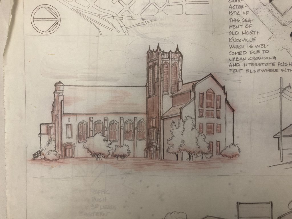
Welcome to the third installment of our new series, ‘From Our Files’, where we show you a potpourri of sketches, old projects, and other fun things we recently found at our office while doing some intense Spring cleaning. For this installment, we’ll focus on a few local Knoxville neighborhoods. The first one, Fourth and Gill, is the neighborhood our office is located in! Let’s dig into some of these beautiful old files and sketches, such as the one above, of Central United Methodist Church, which was part of a study on the conditions of Morgan Street.
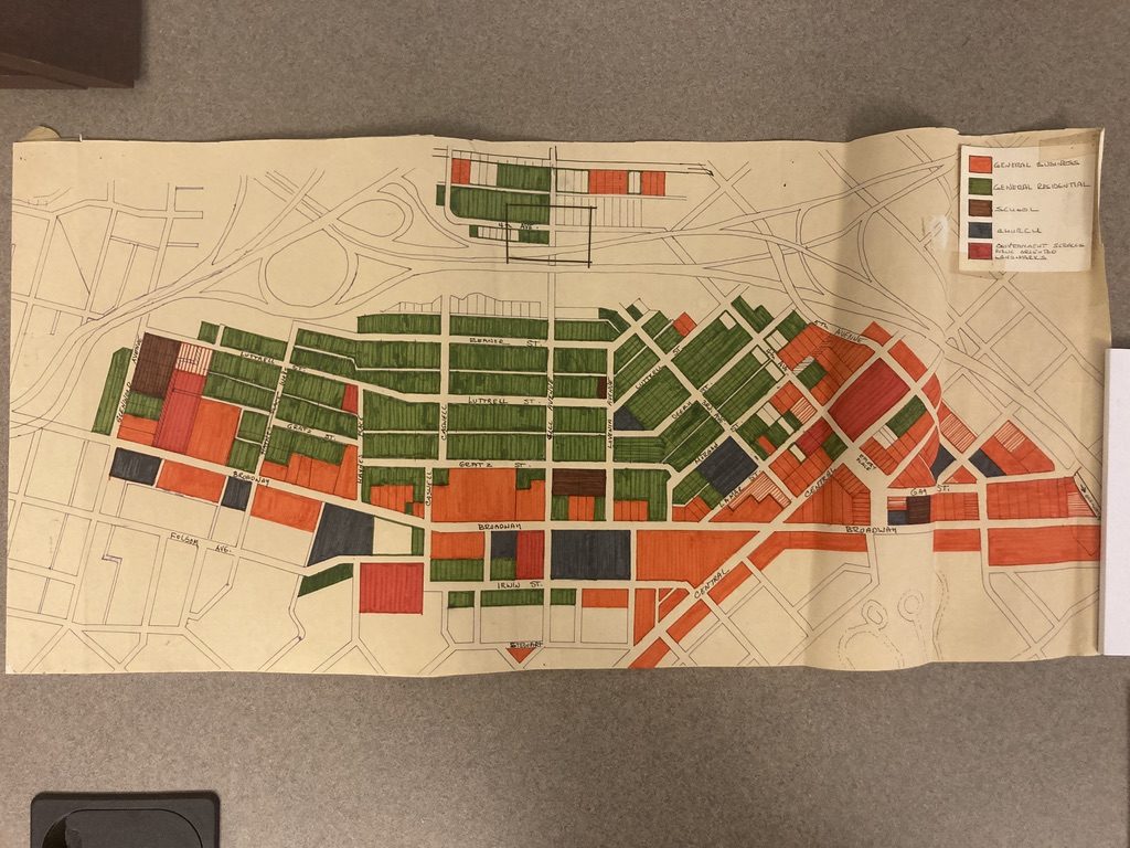
This map, from the late 70s, shows the zoning of the Fourth and gill neighborhood and Emory Place. Notice how, prior to the I-40 expansion, 4th Avenue connected from Emory Place up to Gill Avenue.
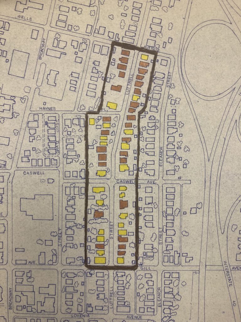
A map (from the same collection as above, circa the late 1970s) showing owned vs. rented properties. Rental properties are in yellow; owned properties are in brown.
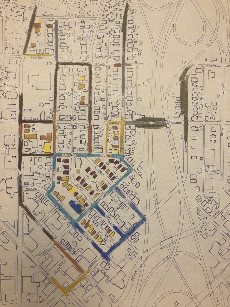
Another sheet showing rental vs owned properties. We couldn’t find any notes dictating what the third color of homes (the mustard yellow) means, nor what the colors on the streets are.
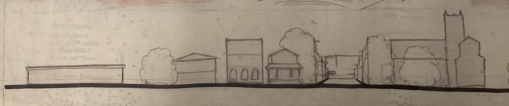
Another sketch from the Morgan Street study; the view on looking West on Morgan street, toward Broadway and Central.
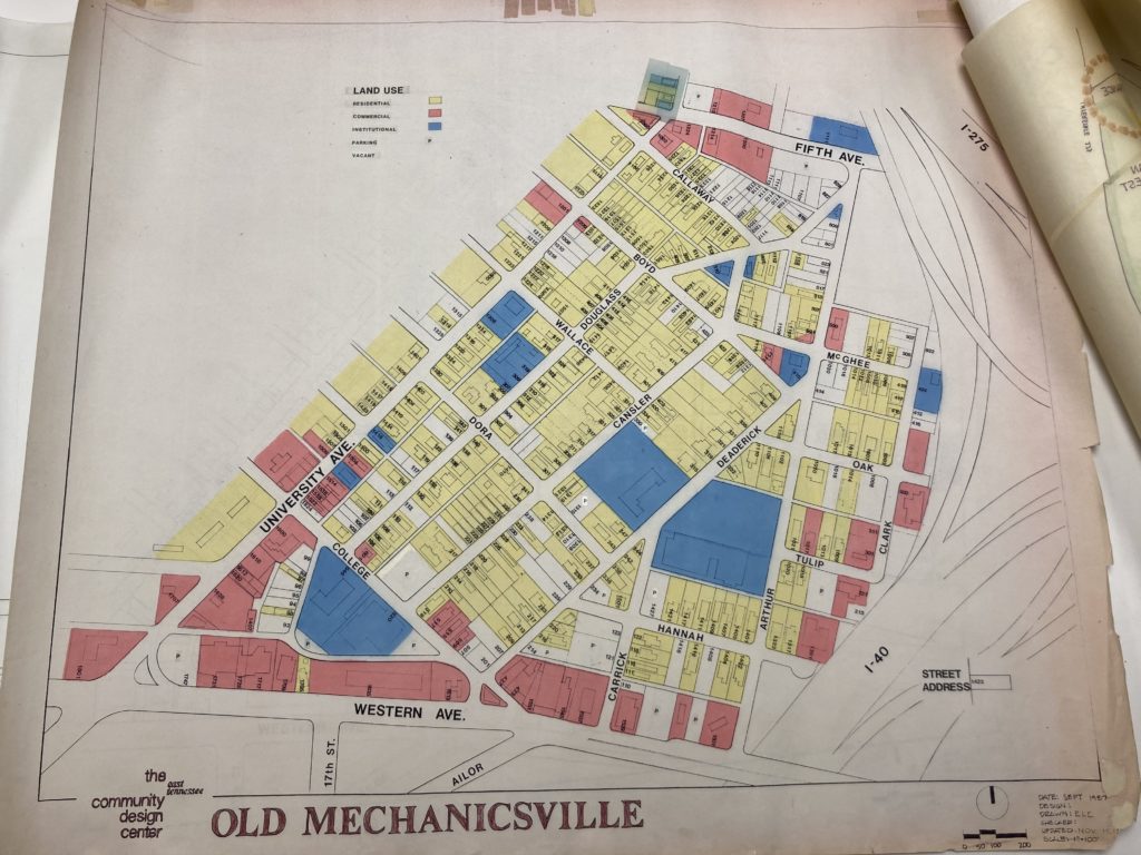
This 1987 map shows land uses in the Mechanicsville neighborhood. Yellow is residential, red is commercial, and blue is institutional.
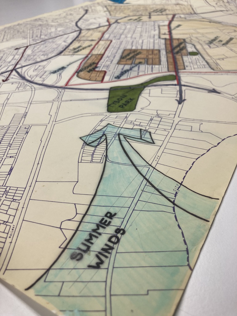
This sketch of the Fort Sanders neighborhood, shows the direction of the Summer winds with a fun blue arrow.
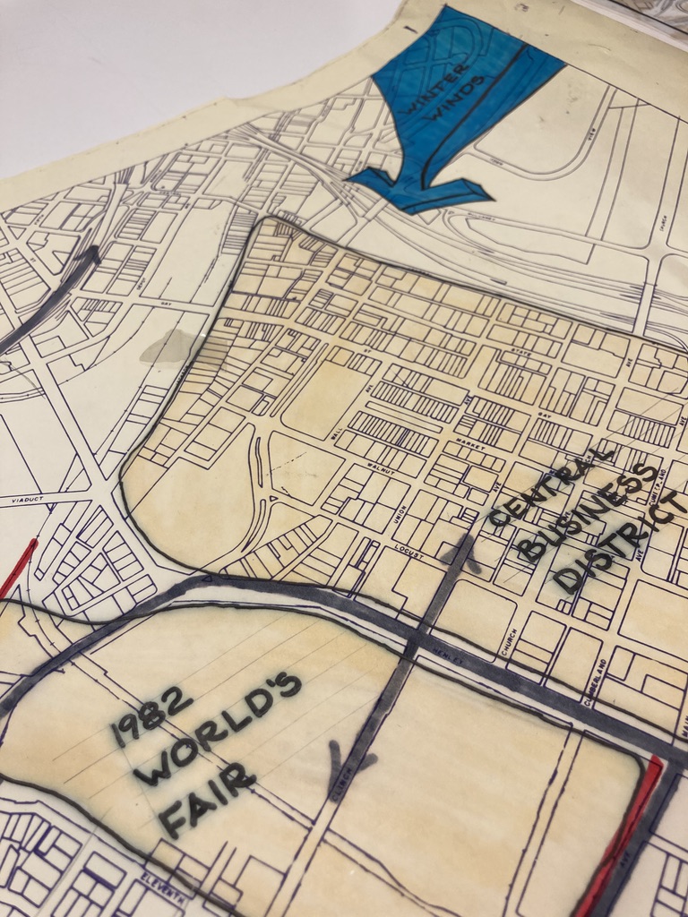
The other side of the same sketch represents the Winter winds in the same fun way, but with a much colder blue.
That’s all we have this time, but keep your eyes peeled for out next installment roughly a month from now! Until then, we hope these maps and sketches remind you of the importance of community design!